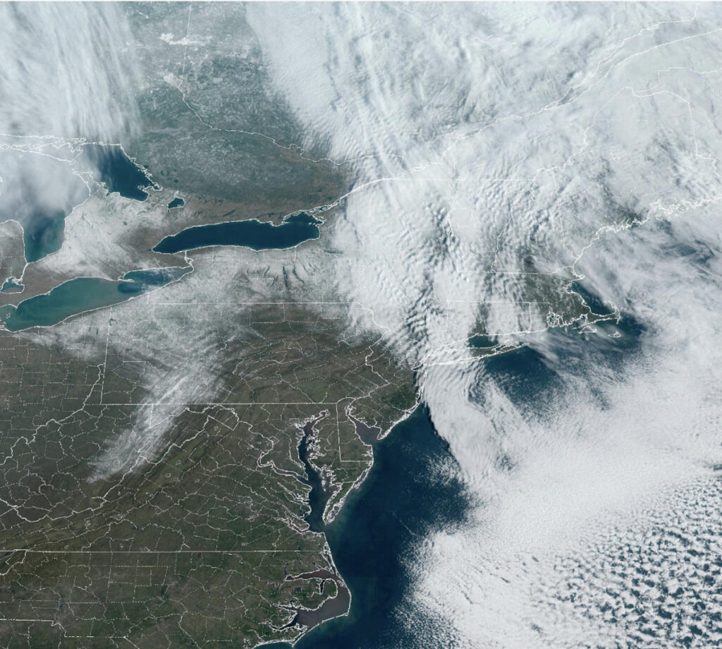
On Monday, 62 million people woke up to wind advisories and high wind warnings that stretched from Maine to the mountains of western North Carolina.
In areas under high wind warnings, winds are expected to continue at 25 to 35 mph on Monday, with gusts up to 50 to 60 mph.
These high wind forecasts include areas such as the heavily traveled I-95 corridor, large hub airports in the Washington-Baltimore area, Philadelphia International Airport, and major tri-state airports (Newark, LaGuardia, John F. Kennedy) and Boston Logan.
Travel delays at airports are likely until the winds subside, but are not expected to occur until winds drop below advisory standards from Monday night into Tuesday morning.
Strong winds are expected to cause downed trees and power outages in eastern states on Monday.
In addition to strong winds, light to moderate snow is expected to fall across the interior Northeast and interior New England into Monday night.
A winter storm warning was in effect for the northern Adirondacks of upstate New York, parts of Vermont and northern New Hampshire.
Additional snow totals are generally expected to be 4 to 8 inches, with some isolated snow totals expected to reach 10 inches or more in some locations.
Monday's wind and snow came from a storm system that brought heavy rain to the Southeast from Friday into Saturday, and into the Mid-Atlantic Coast and Northeast into Sunday.
Cape Hatteras, North Carolina after a weekend of rain. Norfolk, Virginia. Philadelphia; New York City; Bridgeport, Connecticut. and Providence, Rhode Island, are currently experiencing the wettest start to March on record.
Additionally, more than 80 rivers from the Southeast to coastal New England were at mild to moderate flood stage as of mid-morning Monday.
Hampton Beach, New Hampshire, was the area hardest hit by flooding over the weekend, with strong onshore winds pushing water into the area, cutting roads and submerging homes. The region is highly susceptible to coastal flooding, and 2024 will be the second time the region will be flooded.


